About the site
CATEGORY OF PROTECTION: Significant Landscape
YEAR OF PROTECTION: 1974
SURFACE AREA: 549.4 ha
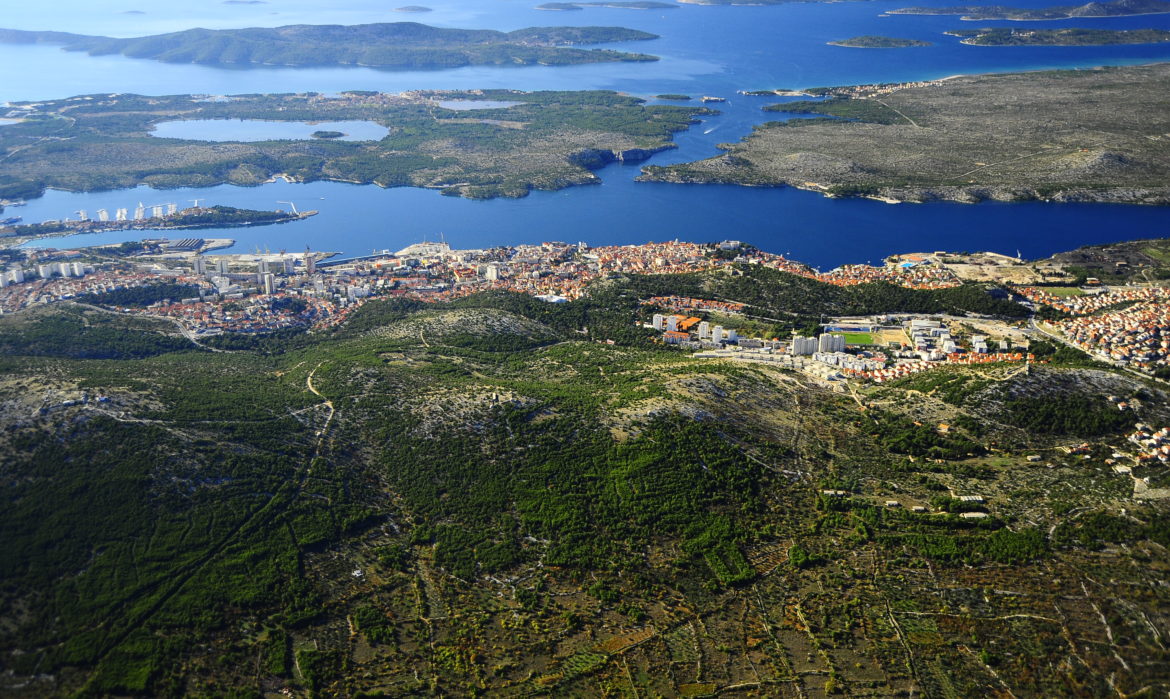
POSITION: Šibenik – hills northeast of the city
The landscape extends in the direction northwest-southeast for a length of 6.5 km, and ranging from 200 to 1400 m in width. It includes the hills Gvozdenovo (221 m), Jamnjak (181 m), Luguša (214 m), Kamenar (256 m) and Oblić (237 m). The landscape is bordered to the south by the City of Šibenik and to the north by the settlement of Dubrava.
Due to centuries of anthropogenic influence, the landscape is dominated by planted stands of Aleppo pine, degradation stage of holm oak forests, garrigues, macchia and rocky grasslands.
The flora and fauna of this area has not been systematically studied, the thickets and gariggues are habitat for Hermann’s tortoise and the pine woods are home to the red squirrel.
The Church of St. Michael (Mihovil) is a sacral structure that stands on the Vršine hill in the Dubrava parish. It was constructed in the Romanesque/Gothic style. It was first mentioned in the written documents in 1415, and consecrated in 1444.
The most beloved viewing point of the locals, called Vidilica or Belvedere, is found in the Šubićevac area, and offers a magnificent view over the Bay of Šibenik, Channel of St. Ante and the city itself.
The educational hiking trail “Ante Frua” passes in part through the significant landscape, and is intended to serve in the ecological education of pupils.